Multi-Perspective Visualisation Laboratory for Peace and Conflict Cartography (VisLab)
Responsible: Dr. Mela Žuljević
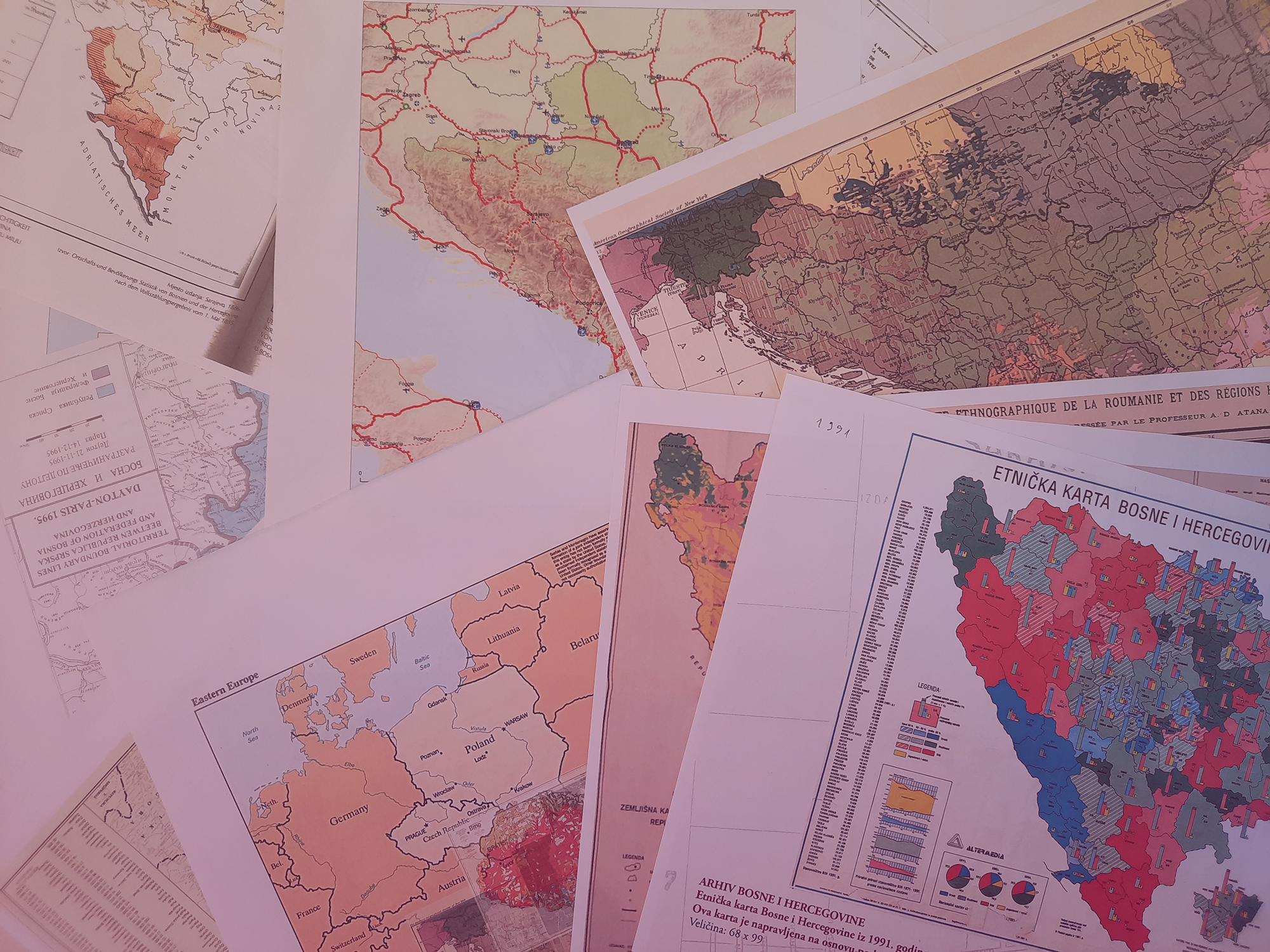
The Multi-Perspective Visualisation Laboratory for Peace and Conflict Cartography (VisLab) is part of the Leibniz Institute for Regional Geography (Leibniz-Institut für Länderkunde – IfL). The VisLab aims to strengthen the competences of the KonKoop network in the use and production of maps and geovisualisations addressing conflicts in Eastern Europe. In addition, we want to develop critical approaches and methods for analysing maps produced by various actors. The VisLab aims to understand how cooperation partners and conflict parties represent their specific interests in national, state and independent cartography. This means looking at how maps produce, represent and interpret different positions and relations in conflict and cooperation, but also thinking about how their different spatial and temporal perspectives are experienced and mediated.
We start from the approach of critical cartography and systematic analysis of conflict visualisations to gain an understanding of how they are produced within specific regimes and technologies of visibility, how they (re)produce cultural myths and advocate for specific spatial histories.

Critical Cartography & Map Analysis
Read more

Visualising Peace and Conflict
Read more

Inventory of Good Practices
Read more
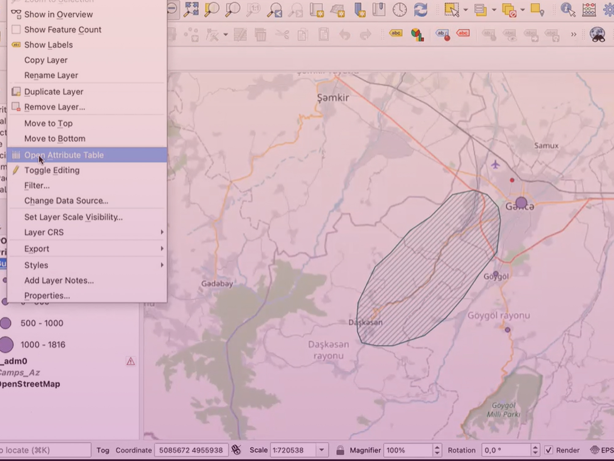
These critical insights provide inputs for prototyping visualisation methods and tools, not only by creating maps and geovisualisations, but also by experimenting with diverse media and design approaches. By supporting KonKoop researchers to visualise their data and findings, in collaboration with the DataLab, the VisLab explores and articulates how visualisations can engage with different scientific perspectives and communicate to diverse audiences. In addition, by advising the KonKoop network and collaborative map-making, the VisLab aims at translating its methodological approach into self-learning visualisation modules for researchers and practitioners.
